
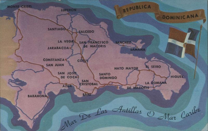
Illustrated Map of Dominican Republic

Additional Details:
| A stylized map of the Dominican Republic shows major cities such as Santo Domingo, Santiago, and La Romana, along with a network of roads. The national flag is depicted waving on the right, above the Caribbean Sea, which is labeled "Mar De Las Antillas O Mar Caribe". |

