
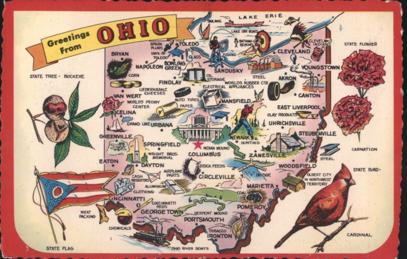
Greetings From Ohio Illustrated Map Buckeye State

Additional Details:
| Illustrated map of Ohio featuring major cities, industries, and landmarks. Depicts the state flag, a buckeye nut, and a cardinal. Includes printed facts: Nickname - Buckeye State, 1970 Population - 10,542,030, Area in Sq. Miles - 41,040, Entered the Union, Mar. 1, 1803. |

