
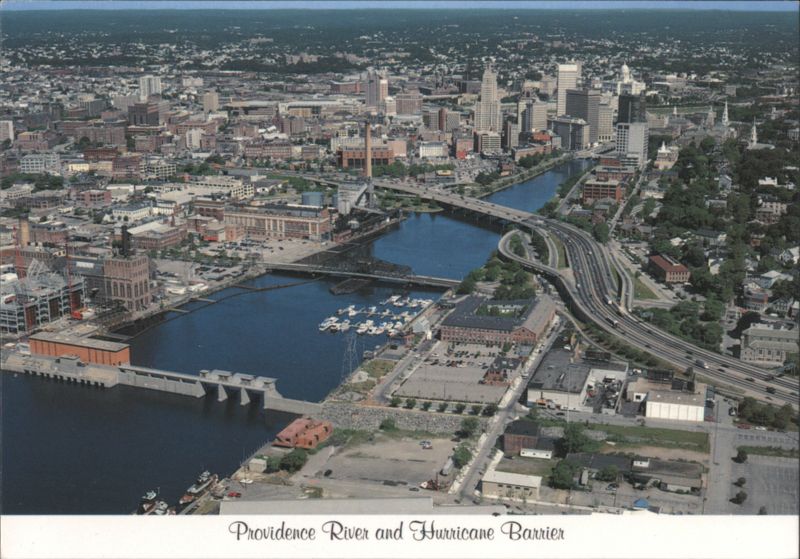
Providence River and Hurricane Barrier

Additional Details:
| This aerial view shows, from left, Fox Point hurricane barrier on the Providence River, Point St. Bridge, Route 195 overpass and central business area in the background. The barrier has gates that can be closed during storms, and was built after hurricane Carol inundated the city causing damage in the millions in 1954. |

